
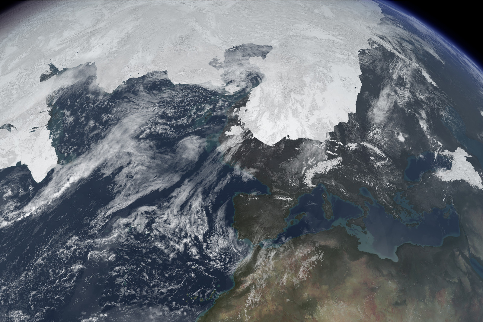
What did windstorms look like 20,000 years ago?
The daily weather conditions in the mid-latitudes are strongly affected by the occurrence of extratropical cyclones (also known as low-pressure systems or windstorms if very intense). This is particularly the case for western Europe, where their passage is typically associated with (heavy) precipitation, strong winds and changes in temperature and cloudiness. While many scientific studies deal with cyclones under recent and future climate conditions [1], few studies have analysed cyclone activity under very different (past) climatic conditions [2]. In a recent study [3], we analysed the characteristics of cyclones for a period about 20,000 years ago, which corresponds to the Last Glacial Maximum (LGM). During this period, large parts of northern Europe were covered by permanent ice sheets and surrounded by polar desert conditions, leading to a colder and mostly drier climate than today. The vegetation was also very different: Western, central and eastern Europe were largely characterised by open shrublands and grasslands, while in southern Europe steppe with embedded forest dominated. Given the above, our main question is: how did cyclones – and in particular windstorms - look like under these conditions, for example in terms of precipitation, temperature and wind speed? With this aim, we analyse the general characteristics and the distribution of mid-latitude cyclones for the LGM and the recent climate (here: pre-industrial period, PI). Moreover, we take a closer look into a sample of 30 very intense windstorms for both periods.
Our analysis identified fundamental differences in the characteristics of extratropical cyclones between PI and LGM climate conditions. First, both the number and the intensity of cyclones were higher in LGM compared to PI. In particular, a larger number of cyclones is detected close to the (North American) Laurentide ice sheet and over central Europe. When analyzing the top 30 windstorms with a regional climate model at high resolution (12.5 km grid spacing), results show that LGM windstorms lead typically to weaker precipitation and stronger wind speeds than their PI analogues. These results are in line with the view of a colder and drier Europe, characterised by little vegetation and affected by frequent dust storms, leading to reallocation and build-up of thick loess deposits in Europe. For the latter, there is evidence that persistent easterlies associated with a strong anticyclone over the Scandinavian ice sheet may have also played a significant role for loess deposition over central Europe [4].
References:
[1] Catto JL, Ackerley D, Booth J, Champion A, Colle B, Pfahl S, Pinto JG, Quinting J, Seiler C (2019) The Future of Extratropical Cyclones. Curr Clim Change Rep 5:407-420, doi:10.1007/s40641-019-00149-4
[2] Raible CC, Pinto JG, Ludwig P, Messmer M (2021) A review of past changes in extratropical cyclones in the northern hemisphere and what can be learned for the future. WIREs Clim Change 12, e680. doi:10.1002/wcc.680
[3] Pinto JG, Ludwig P (2020) Extratropical cyclones over the North Atlantic and western Europe during the Last Glacial Maximum and implications for proxy interpretation. Clim Past 16, 611–626, doi:10.5194/cp-16-611-2020
[4] Schaffernicht EJ, Ludwig P, Shao Y (2020) Linkage between Dust Cycle and Loess of the Last Glacial Maximum in Europe, Atmos Chem Phys 20, 4969–4986. doi:10.5194/acp-20-4969-2020
Joaquim G. Pinto and Patrick Ludwig, AG “Regional Climate and Weather Hazards”